Interactive Census Map
Here's a web site to burn a few hours on.Social Explorer has interactive data maps of census data.
You can see population statistics for the whole country or down to census district size.
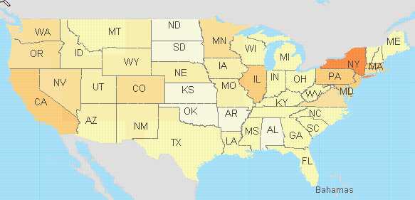
Census 2000 Data includes population: age, race, origin, family size, etc
And industry, occupation, employment, income, etc.
I saw this first on worldchanging.com
Social Explorer
posted by Prospector @ 4:33 PM
![]()
![]()


0 Comments:
Post a Comment
<< Home